Shrink Green – Shrinking Regions as an Opportunity for Green Infrastructure

How can shrinking municipalities make use of vacant land to strengthen their green infrastructure and better adapt to climate change? In his master's thesis, Moritz used the municipality of Oranienbaum-Wörlitz as a case study to investigate how such potential sites can be identified using a GIS-based method and connected to form an ecological network.
Interview with Moritz Fladung on 11 February 2026, when he presented his research in Oranienbaum-Wörlitz.
Interviewer: Dear Moritz, you wrote your master's dissertation on the topic of “Developing a GIS-based methodology for integrating potential sites into a green infrastructure network in shrinking cities”. How did you come to choose this topic?
Moritz: We built on an existing collaboration. The municipality of Oranienbaum-Wörlitz had already drawn up a climate protection strategy, but it had not yet been developed sufficiently to qualify for follow-on funding. That is why Mr Hanse from the State Chancellery approached us to strengthen the existing strategy with scientific evidence. Before that, I had already been involved in the university's Climate Advisory Board and had carried out a literature review on shrinking regions as part of the KAT project. Professor Petra Schneider and I then began looking at the questions: How can climate adaptation succeed in regions experiencing decline? Could the land becoming available even offer advantages? That is how the topic of my master's dissertation emerged.
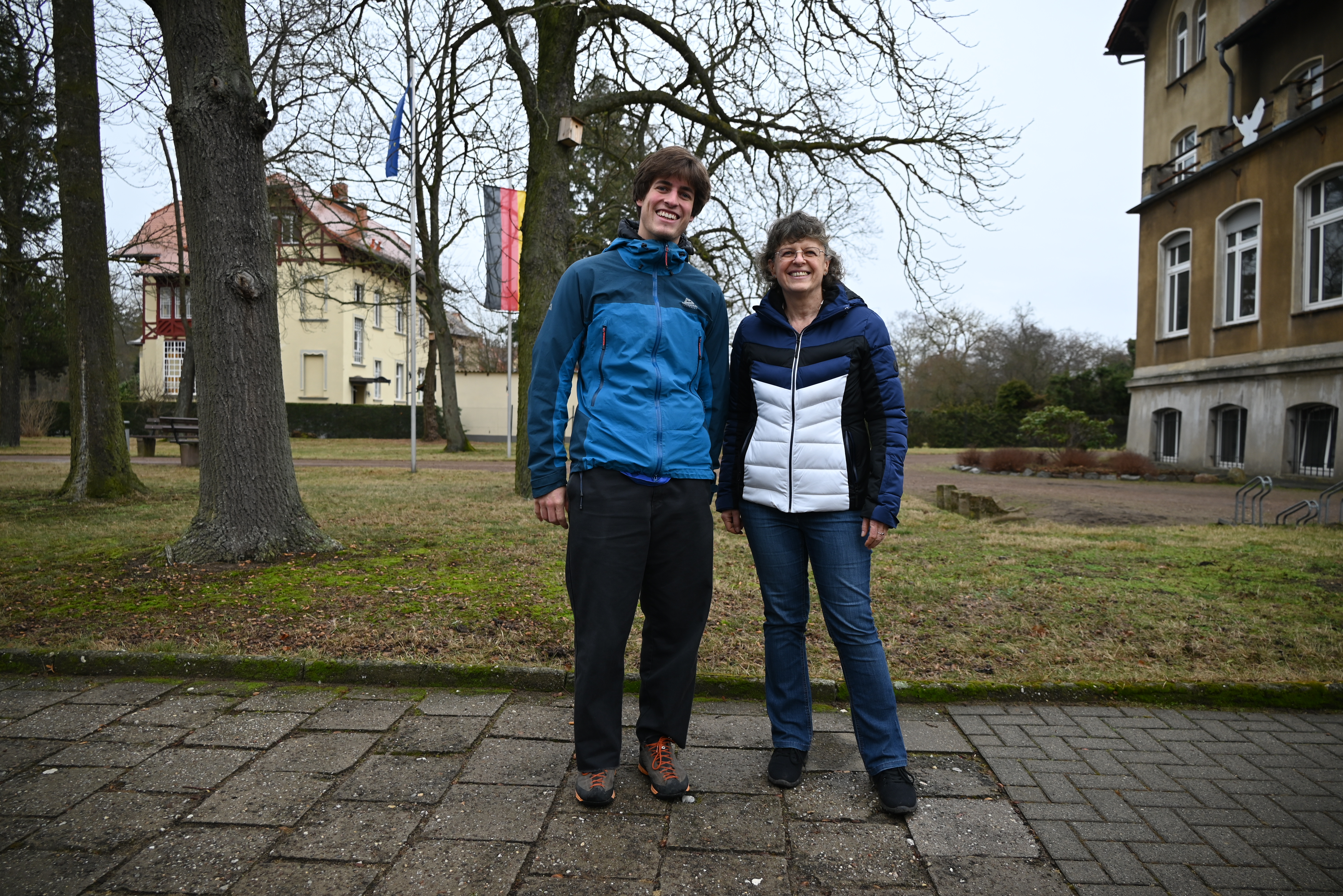
Moritz Fladung and Professor Petra Schneider in Oranienbaum-Wörlitz
Interviewer: What did you particularly enjoy about writing your master's dissertation?
Moritz: Being able to choose my own topic meant I could focus on something that genuinely interested me. I could pursue my interests and had complete freedom in designing the research project. I particularly enjoyed thinking the project through from start to finish and gaining an insight into project management.
Interviewer: Were there any particular challenges during your research? Was there a moment when you thought: This is going to be harder than I expected?
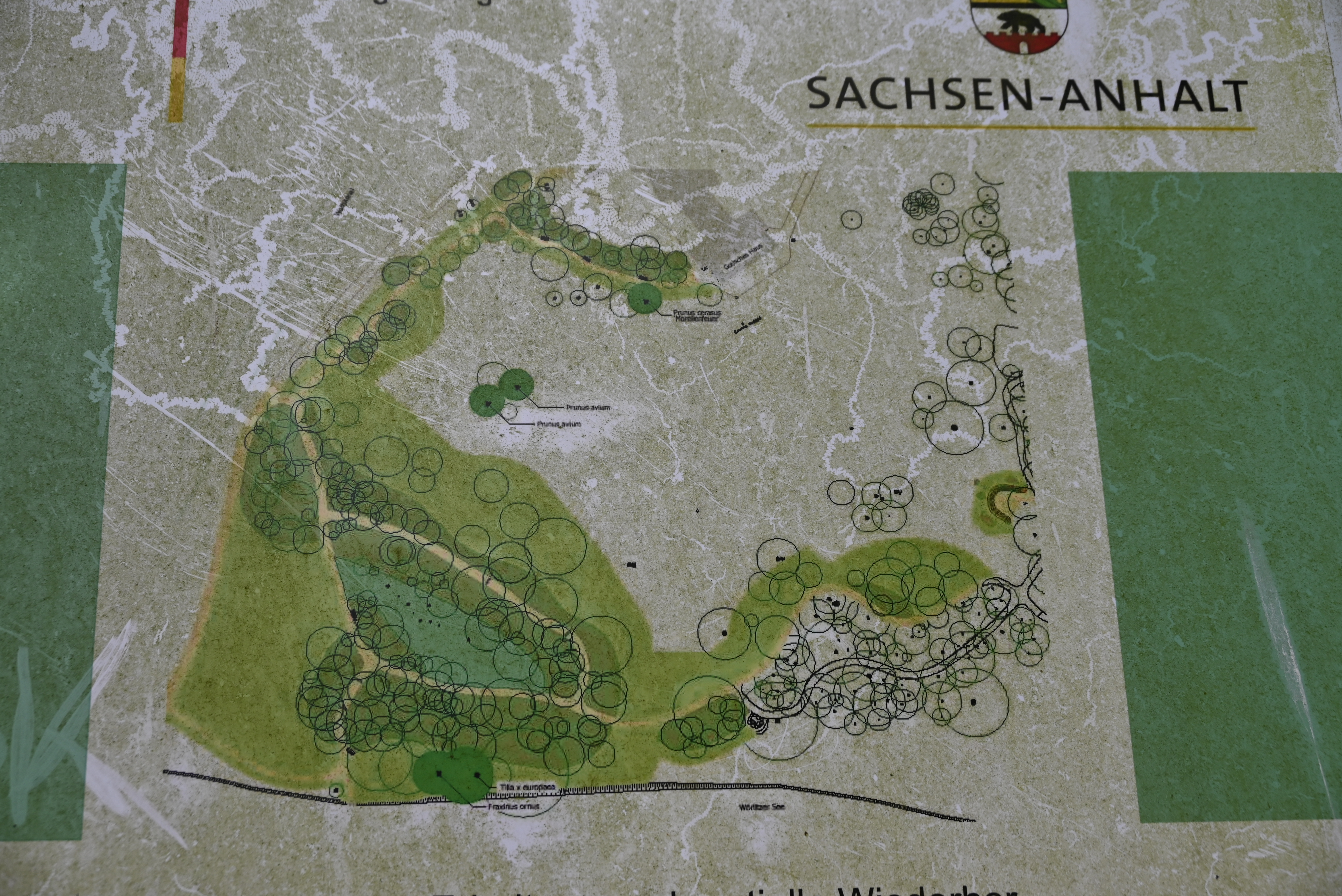
Moritz: One major hurdle was obtaining data. That was not at all easy, especially when it came to accessing up-to-date, highly specific municipal data. The availability of data at local authority level is often quite poor. Another challenge was developing the methodology. I wanted to demonstrate the actual value of ecosystems, or rather, of urban green infrastructure. It was not easy to work out which method I should use to make urban green infrastructure visible. What value does green infrastructure have? How can that value be represented spatially?
Interviewer: Which method did you eventually use? Did you develop something new or draw on established approaches?
Moritz: I approached the question through ecological connectivity. This approach is well established at larger spatial scales, and there is a range of scientific research on it. In my dissertation, I applied it at a much finer spatial scale – right down to individual sites. The underlying idea was that ecological connectivity reflects a certain standard of ecological quality, which in turn gives rise to ecosystem services or even enables them to be delivered to their full potential. I therefore assumed that sites with high ecological connectivity also had a high potential to provide ecosystem services. What I particularly liked was that my method allowed me to model how these effects spread across the surrounding area.
Interviewer: How would you summarise the key findings of your dissertation?
Moritz: One interesting finding is that the chosen method can also be applied to small-scale study areas, making it possible to visualise an urban green infrastructure network in the first place. This is particularly interesting because the underlying data structure is relatively straightforward – apart from the challenge of obtaining data collected by local authorities. Using land-use data and ecosystem mapping, the method makes it relatively easy to visualise a network and then use it for further modelling. That is a huge advantage when it comes to applying the approach in local planning.
Another key finding is that urban shrinkage in the study area creates enormous potential for establishing a connected urban green infrastructure network. If these newly available sites are developed and integrated into the wider network, they can make a real difference. Vacant sites, particularly when considered as ecological stepping stones, have considerable ecological value and are ideally suited to complementing a green network.
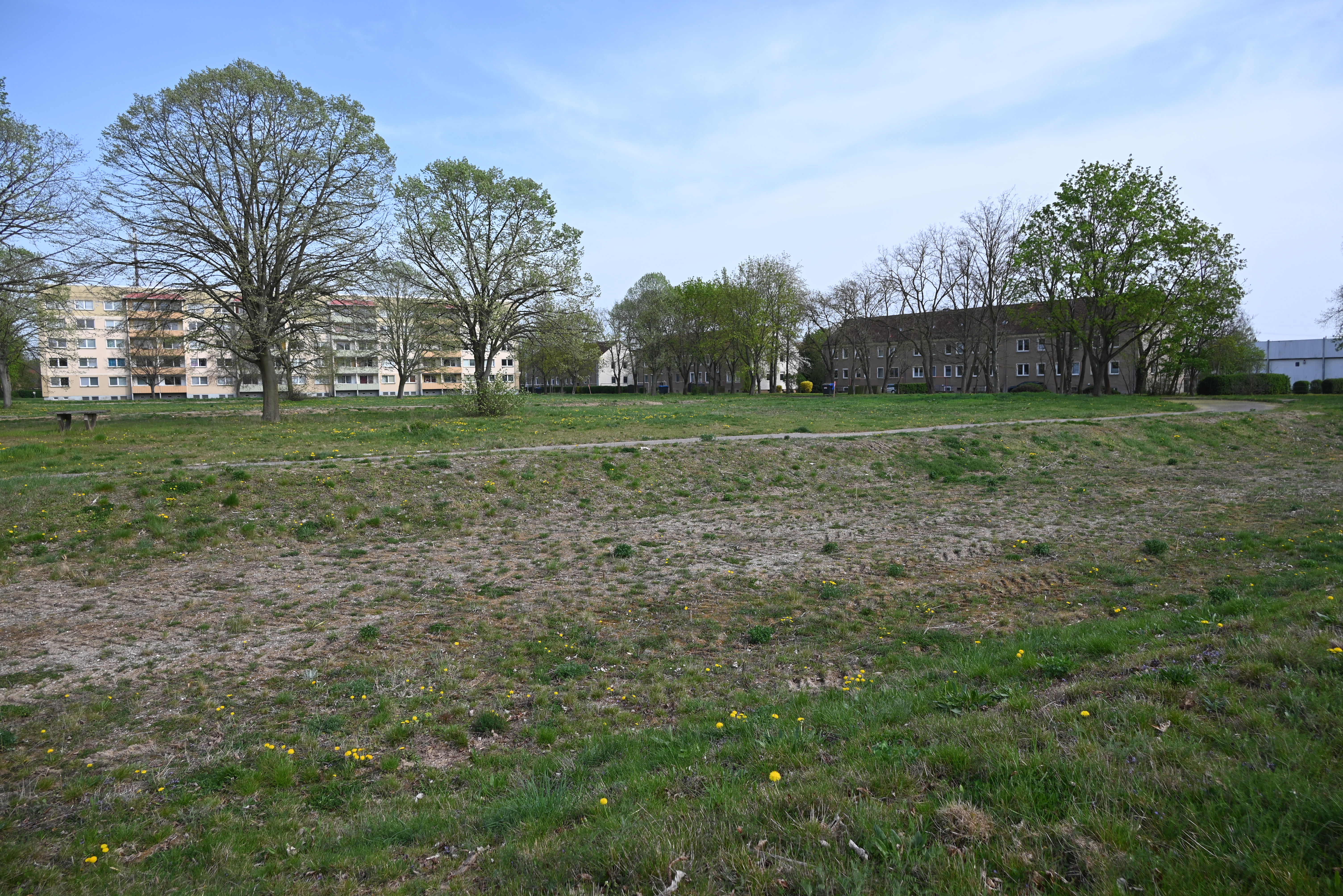
Interviewer: In your dissertation, you identified around 50 potential sites. Would it be useful to draw up a priority list for them? If so, how do you think they should be prioritised?
Moritz: I definitely think these sites need to be prioritised in some way. How this is done depends on several factors. On the one hand, the priorities must reflect what the municipality can realistically achieve. On the other hand, I think they should be based primarily on ecological corridors. Looking at the larger ecosystems, further modelling could be carried out to investigate which corridors could be created using vacant sites to connect these ecosystems. There are some good approaches to this in the scientific literature.
Interviewer: The mayor has already raised the question of prioritising measures that could improve the ecological value of these sites. Could your recommendations be turned into a set of measures that can be assessed in economic terms?
Moritz: Yes, they could. In fact, I consider further prioritisation essential – my dissertation merely provides the basis for it. The scientific literature repeatedly emphasises the costs of establishing and maintaining urban green infrastructure (UGI) networks. These costs play a major role, particularly given the limited financial resources available to local authorities. They could therefore be used as a criterion for prioritisation – in other words, how much a particular measure would cost on each site.
Another factor would be the social benefit. In other words: which site would generate the greatest benefit for local people?
We should also remember that expanding a UGI network should ideally have broad public support. In Oranienbaum-Wörlitz, an inclusive planning process had previously taken place to draw up an urban development plan. It would make sense to look at which measures are already planned and assess how they could be applied to the identified sites.
I certainly had the impression that the municipality was very interested in the results I had produced. I felt there was a great deal of openness towards them.
Interviewer: Are you referring to the local authority – the mayor and the administration – or to local residents?
Moritz: The interest and openness came mainly from the local administration. I think their biggest challenge was the question: How can we actually put these scientific findings into practice? I do not think they had a clear idea yet of how that might work. More work is certainly needed to translate the findings into practical action, along with further input.
Interviewer: From your perspective, what should happen next in the municipality in terms of environmental awareness and ecological enhancement?
Moritz: From my perspective, there are essentially two areas to focus on. The municipality has developed an integrated municipal development plan. It already includes various projects that could strengthen the green infrastructure network – such as planting trees along roads, expanding cycle routes and restoring former agricultural co-operative (LPG) sites. Since my dissertation has now provided a systematic framework, it would make sense to examine how these planned measures could be incorporated into the model to strengthen the network in a targeted way and applied to the potential sites I identified.
The second major step would be to make use of the digital groundwork I have done. That means continuing to maintain and develop the GIS model. For example, the condition and quality of individual ecological sites could be systematically recorded, creating an inventory that could then be used to draw up specific management plans for the sites.
Interviewer: How important do you think the subject of your master's dissertation will be in the future?
Moritz: Green infrastructure is, quite simply, the infrastructure of the future. I think it is extremely important – in both urban and rural areas. In rural areas in particular, I often had the impression that there was a lack of a clear strategy or the knowledge needed to make the most of this potential. Many local authorities are not even aware of their own ecological assets and have not collected the relevant data. I think there is still a great deal of work to be done.
Interviewer: That sounds like a lovely note to end on! Thank you very much for the interview.
A summary of his research findings was also recently published in this scientific article.
| Zurück zur Übersicht | Nächster Beitrag |

